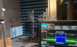
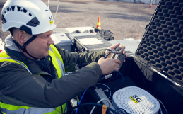
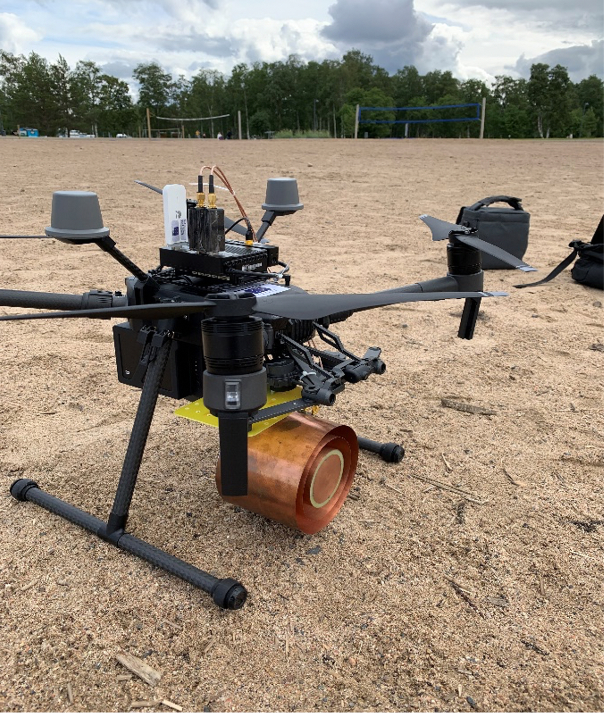
GNSS-Reflectometry (GNSS-R) uses direct and reflected GNSS signals to estimate different properties of the reflecting environment such as wind speed over the ocean, ocean altimetry, significant wave height, sea level, soil moisture, snow-ice thickness, classification of vegetations and forests, etc. GNSS-R system onboard UAV gives the possibility to have an adaptive and flexible measurement setup with the ability to perform clean, localized and instantaneous remote sensing [1]. The analysis of interference of the direct and reflected GNSS signals, also known as GNSS-Interferometric Reflectometry (GNSS-IR), was successfully done to perform altimetry in significantly less time as compared to fixed ground measurement systems. This system was also able to identify different types of reflecting surfaces using the reflected GNSS signals.
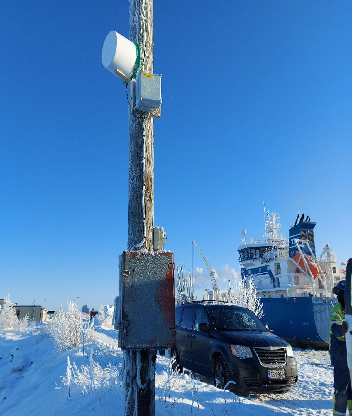
Currently, a fixed GNSS-R test measurement station is located at Vihreäsaari Harbor in Oulu to perform sea surface sensing. The GNSS data from the system is being currently studied for extracting key sea surface properties such as significant wave height, sea-level, evolution of ice in winter, ice-thickness, etc.
For queries please contact:
Ankit Regmi
email: [email protected]
Adj. Prof. Markus Berg
email: [email protected]